 | |||
|
|||
|
|
Melrose to Kelso via Dryburgh |
|
|||
This section is 17.5 miles / 28 Km of varied walking some on riverbanks, farm tracks and elements on minor and quiet roads.
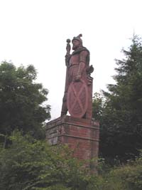
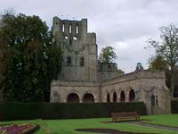
Very soon the route leaves all the housing of Melrose and takes an elevated path that has open views over the field to the River Tweed. In Newstead the route starts to climb towards the foothills of the North Eildon, turning up past the Rhymer's Stone and following the route of the old Melrose to Newtown St Boswells road. Looking east over to the wooded hill close by Dryburgh is the location of a dramatic statue to William Wallace and this may be a extra short walk that can be taken when reaching Dryburgh and the Temple of the Muses. 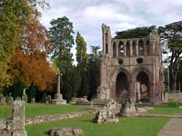 Once in the centre of Newtown St Boswells the route becomes concurrent with a section of St Cuthbert's Way as it heads
down the lower stretch of the Bowden Burn then follows an elevated bank of the Tweed to the Pedestrian Bridge close to
Dryburgh.
Here the paths break from one another the Borders Abbeys Way crossing the Tweed to the north bank, St Cuthbert's Way remaining on the south bank. Within a short walk Dryburgh Abbey entrance is reached and adjacent is the Dryburgh Abbey Hotel where refreshments or accommodation are of the best quality. 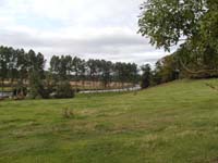 On leaving Dryburgh the Way soon picks up the River Tweed walking towards Mertoun on the north bank. The path climbs
away from the river to reach Clintmains before skirting round the Mertoun Estate before rejoining the river to the SE of
Magdalene Hall.
The river walk ends just before reaching the bend in the river below Old Dalcove and from here until the last half mile into Kelso Abbey the Way is through typical Berwickshire farmland. 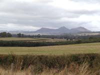 Much of the walking at this stage is on very minor single track roads or farm tracks. To the south are views across the
Tweed Valley to the distant Cheviots. To the north can be seen Smailholm
Tower and looking back there are views of the Eildon Hills.
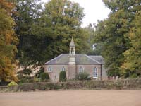 Makerstoun is a small community and there is an attractive church visible from the route.
The Way keeps to the north of the Tweed and the Floors Castle estate. This entails perhaps more hard surface walking as a result so it is with relief that a grass surface is again encountered at Wester Muirdean Farm. 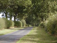 Even after crossing the main
Kelso to Edinburgh road there is again a very wide grass verge on both sides of an attractive tree lined road leading into
Harrietfield.
The way now swings to the south as it approaches Kelso using farmland and fields for most of the way until reaching the Race Course. This area is both the race course and the local golf course. 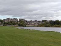 The last two kilometres are within Kelso passing first through some housing areas before emerging out beside a recreation
park close to the walls of Floors Castle. The route then passes one of
the magnificient gates to the Castle Grounds before joining the grass banks of the Tweed for the final walk into the town
square. The Abbey remains are now only 100 metres from this attractive "French" styled town centre.
|
|||||
To move to the next section of the Way click here.
| | ||||
